Welcome to the Missouri Spatial Data Information Service.
The Missouri Spatial Data Information Service (MSDIS) is Missouri’s primary spatial data clearinghouse. We are responsible for collecting and distributing vector data, aerial photography, and LiDAR elevation data that are generated, updated, and funded by a variety of Missouri’s state, local, and regional agencies and governments.
MSDIS supports users from all corners of the Show-Me State, including federal and state agencies, local and regional governments, law enforcement, university and K-12 educators, researchers, students, private sector businesses, and the general public.
MSDIS operates from within the University of Missouri Department of Geography, is funded by the State of Missouri Office of Geospatial Information, and is supported by the University of Missouri College of Arts and Science.
Download New Map Data and Imagery
View and Apply to Missouri GIS Jobs
Missouri GIS Jobs Page
Join a terrific group of professionals using GIS to support the Show Me State
Connect to GIS REST Services
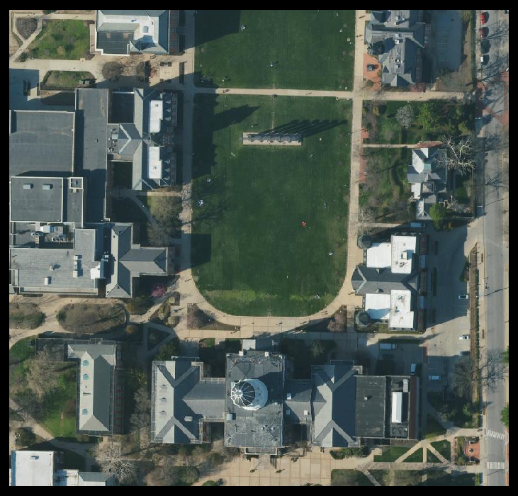
2023/2024 6-inch Resolution Statewide Imagery Data
Connect to 2023/2024 Missouri 6″ resolution statewide imagery data
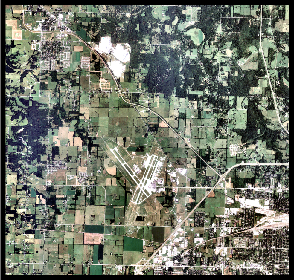
OLDER and LOCAL MISSOURI IMAGERY + NAIP
Connect to a variety of other Missouri imagery, including regional data, older data, and NAIP
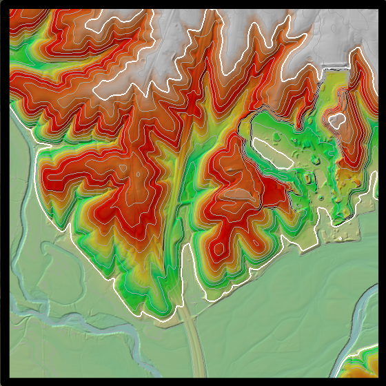
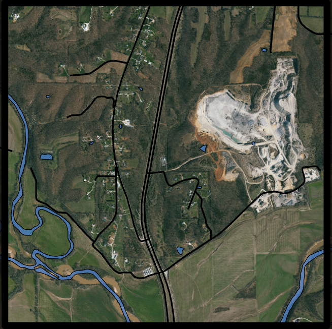
Data Archive
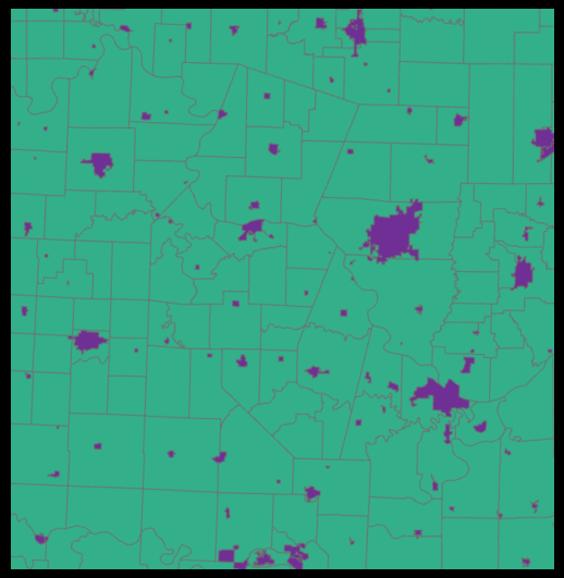
MSDIS Data Archive
MSDIS maintains an extensive archive of older GIS data and imagery that can be accessed through the Data Library